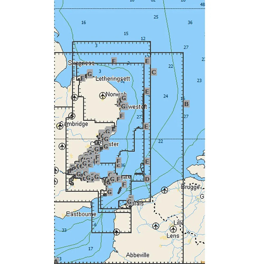


C-MAP MAX Dover Strait to Great Yarmouth Chart | 4Boats
NVM-EW-M038-MS
- Dispatched in 2-3 days
- 30 Day Return Policy
- Low stock - 1 item left
- Backordered, shipping soon
No reviews
Our stock levels are dynamic and can change frequently. If a product appears to be in stock, it may have already sold out. Please contact us if you have any questions about availability. Thank you for your understanding.
Regular price£173.41
/
Tax included.
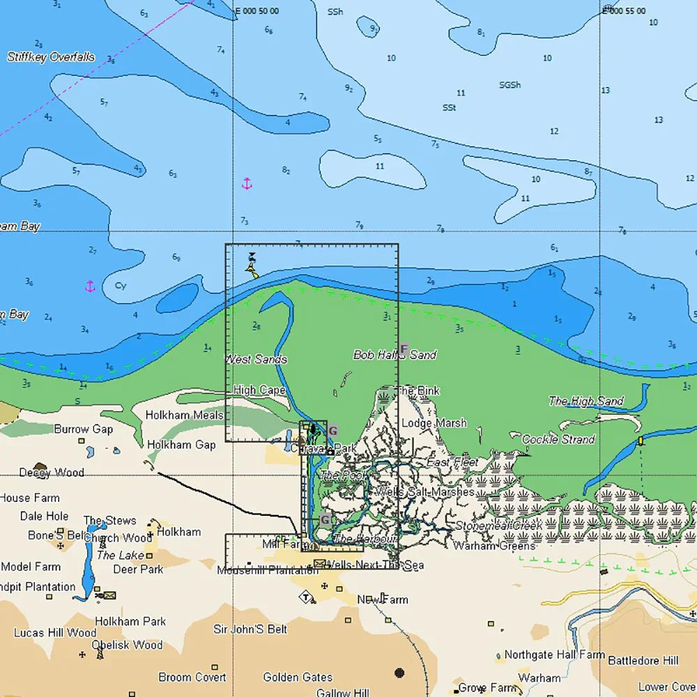
C-MAP MAX vector chart covering the Dover Strait to Great Yarmouth for coastal navigation and electronic nautical charting.
- Coverage: Dover Strait to Great Yarmouth
- Format: C-MAP MAX vector chart
- Compatibility: C-MAP MAX-compatible chartplotters and multi-function displays
- Delivery: digital download or microSD card
- Chart detail: high-resolution coastal and approach data for navigation and route planning
Check device compatibility and update policy before purchase. Includes update information and is suitable for English Channel and UK East Coast navigation.
For the products under £150 the shipping is £6.99.
Free delivery for the most items over £150.