
Navionics EU003R Great Britain Northeast Coast Chart | 4Boats
240-010C131030
- Dispatched in 2-3 days
- 30 Day Return Policy
- In stock, ready to ship
- Backordered, shipping soon
No reviews
Our stock levels are dynamic and can change frequently. If a product appears to be in stock, it may have already sold out. Please contact us if you have any questions about availability. Thank you for your understanding.
Regular price£149.99
/
Tax included.
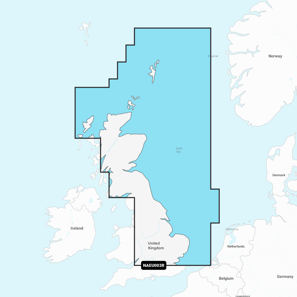
EU003R - Navionics marine chart for the Great Britain Northeast Coast, combining official source data, SonarChart bathymetry and community updates for confident coastal navigation.
- Nautical Chart: Comprehensive charts derived from multiple official government and private sources, displayed in a familiar look and feel.
- SonarChart: Innovative 0.5 m (1') bathymetry charts created using Navionics proprietary systems.
- Community Edits: Useful local knowledge from edits made by users of the Navionics Boating app.
- Daily Updates: Up to 5 000 updates to our charts every day; a one-year Navionics subscription to Daily Updates and advanced features is included when you purchase a new product.
-
Subscription Advanced Features:
- Dock‑to‑dock Autorouting - Start your trip with a suggested route
- Advanced Map Options - Customise your view
- Plotter Sync - Plan on mobile, go on plotter
- Coverage: EU003R - Great Britain Northeast Coast.
Compatible with Navionics-capable chartplotters (Garmin, Raymarine, Simrad) and the Navionics Boating app. After one year you can renew your subscription at a discounted price.
For the products under £150 the shipping is £6.99.
Free delivery for most items over £150.